See where your crews are and where they are needed
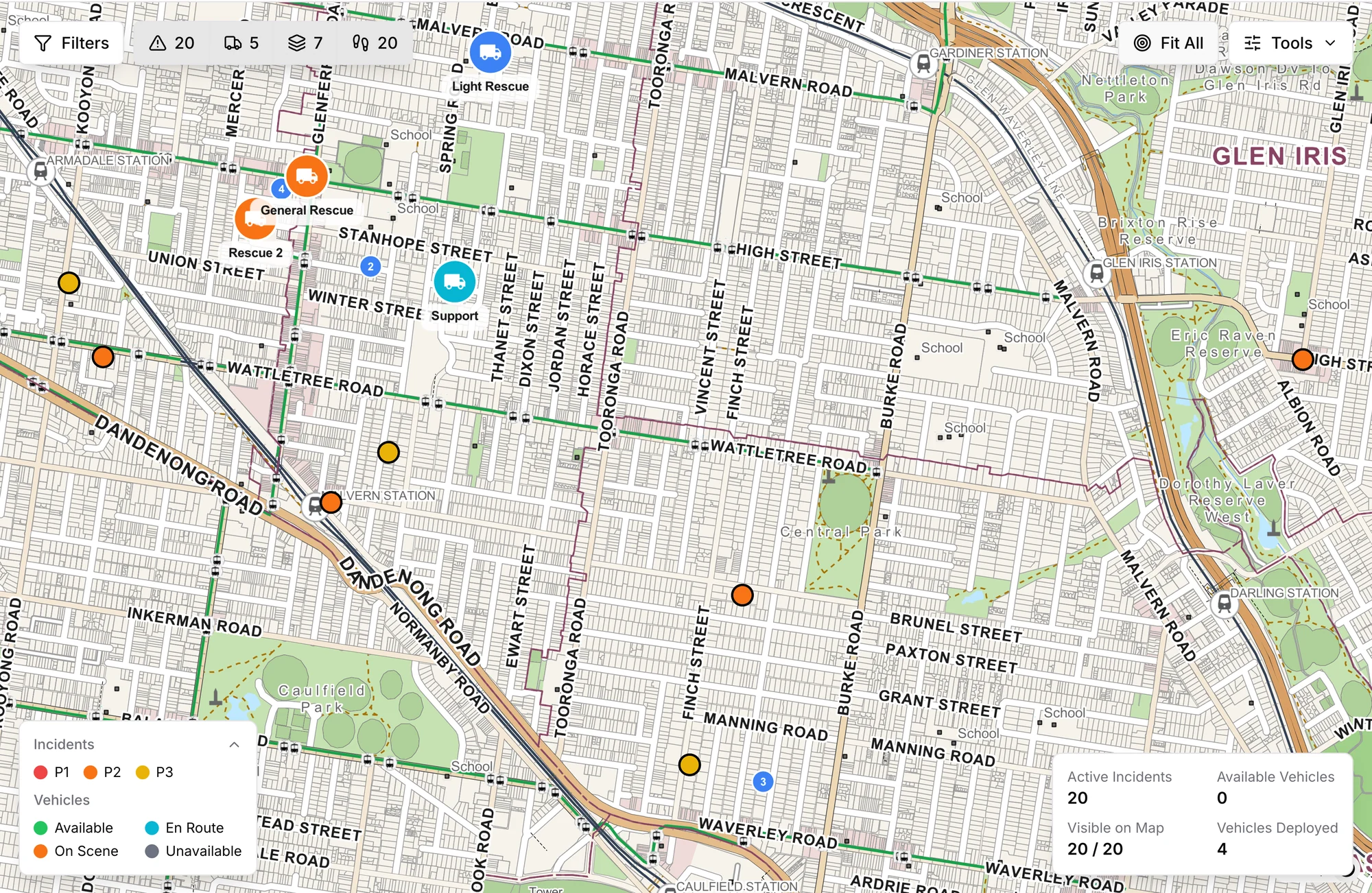
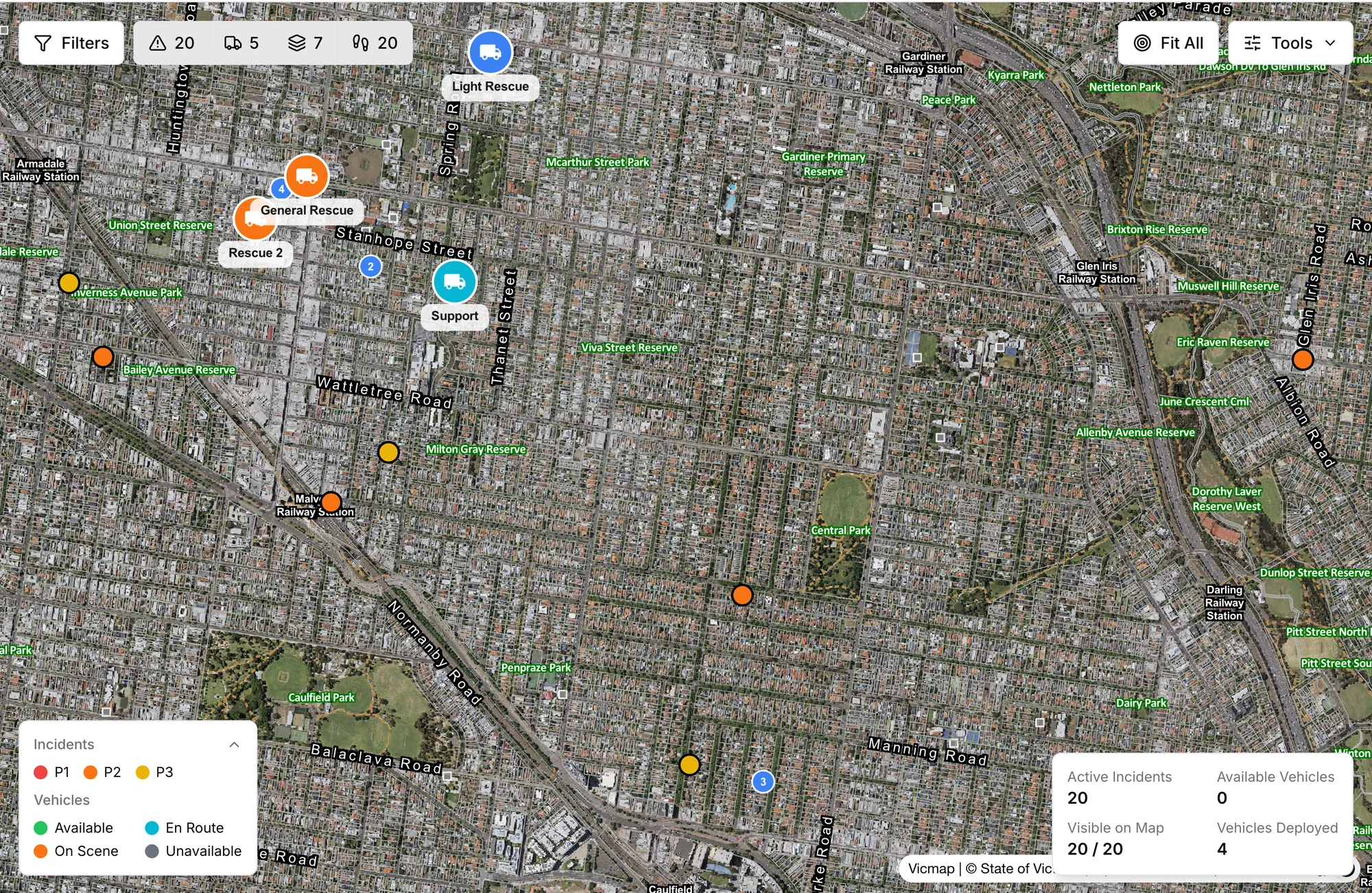
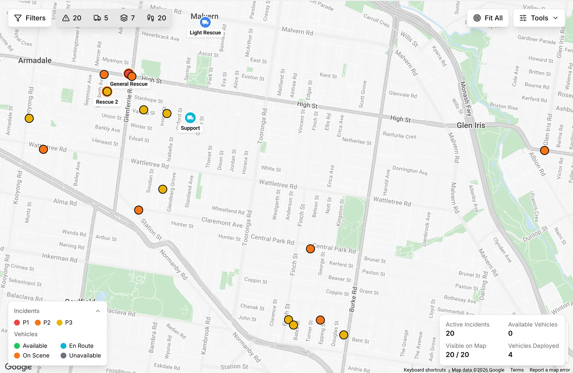
Most incidents need more than an address. See each one on the map, with live vehicle locations down to the second, 3D terrain, drawing tools, data overlays, and searchers tracked on foot with their history.

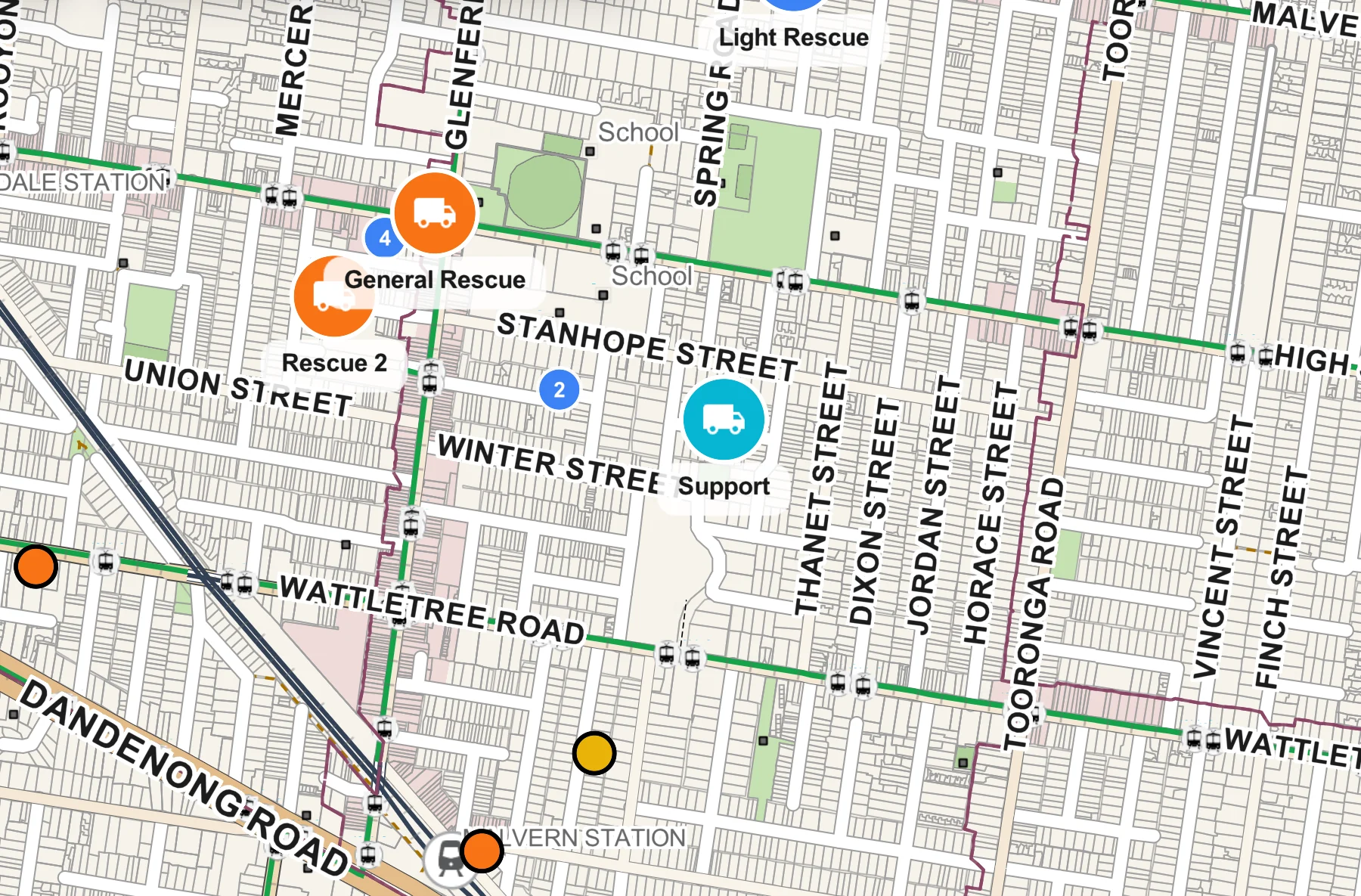
See where help is available
Vehicle status and incident priority are visible together, helping you assess the situation without piecing it together from separate updates.
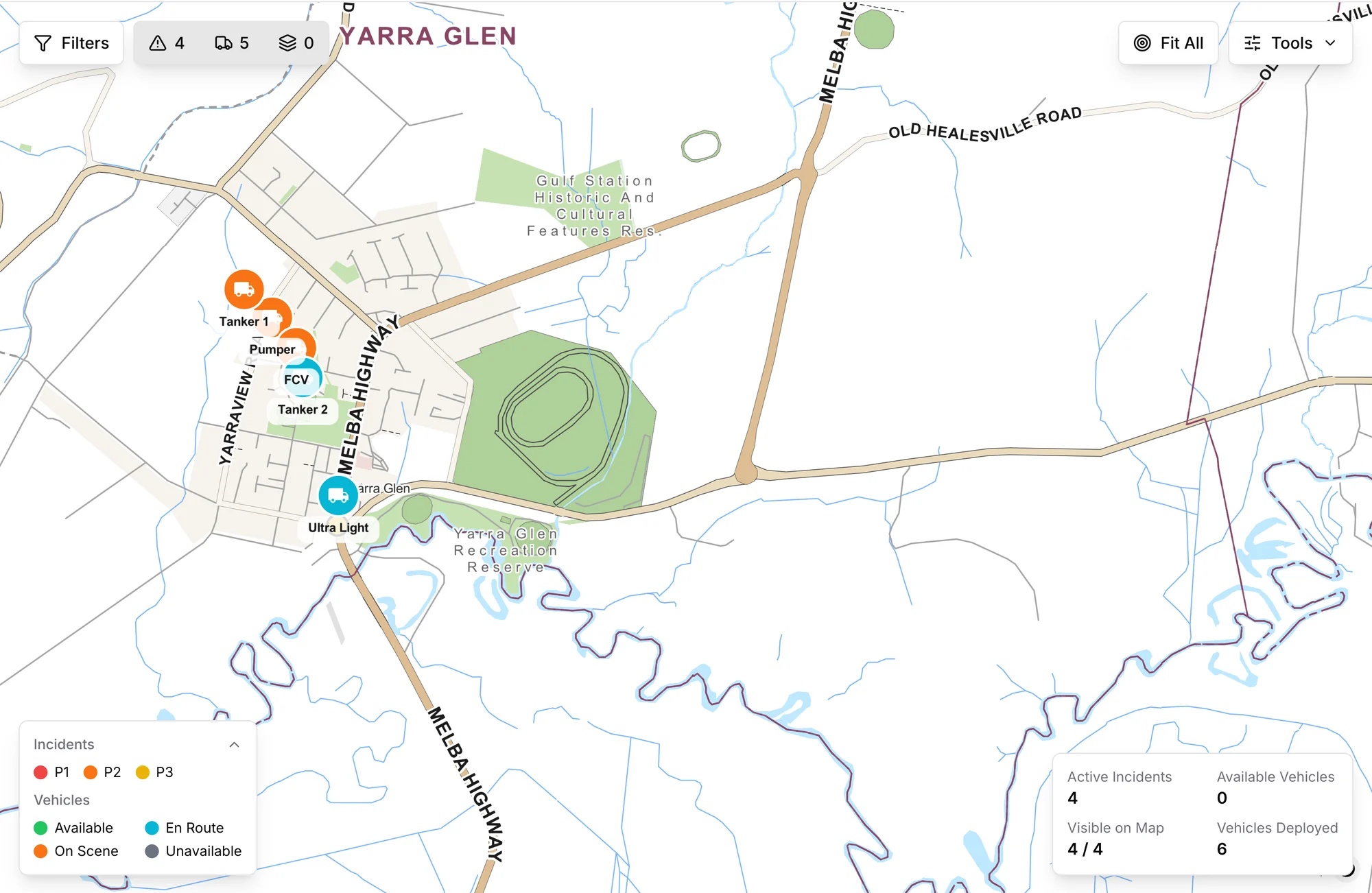
Coordinate with the surrounding response in view
See responding vehicles around the incident so you can understand where resources are gathering and where more help may be needed.
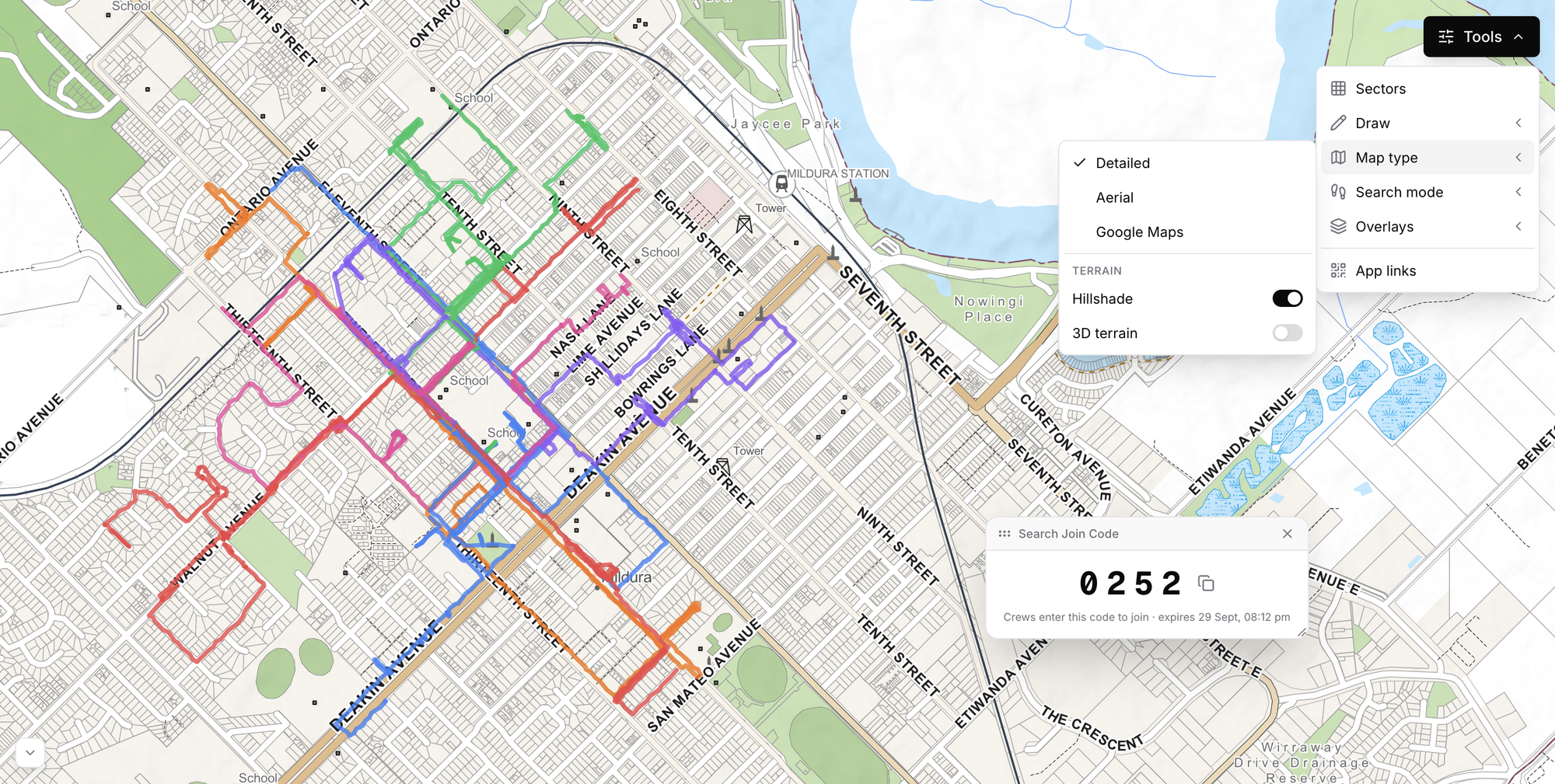
Track searchers on foot and keep the trails
With Search mode enabled, each searcher's phone draws where they have walked, so you can see the ground already covered. It works remotely too: positions saved out of coverage upload when the connection returns.
Read the ground before you send a crew
The map shows the country a crew is heading into, and you can mark it up for everyone watching.
3D terrain
Tilt the map to see ridges, gullies and which side of the hill an incident is on. Hillshade gives the same relief with the map kept flat.
Drawing tools
Pen, line, polygon, rectangle, circle, marker and text, in a colour you pick. Drawings appear for everyone on the console.
Warnings as overlays
Switch on current VicEmergency and Bureau of Meteorology warnings, and click one to read its level, area and times.
Search with a code
Give searchers a four-digit code. Members and people from other agencies join on their own phones and their trails appear on your map.
The picture field crews have been missing
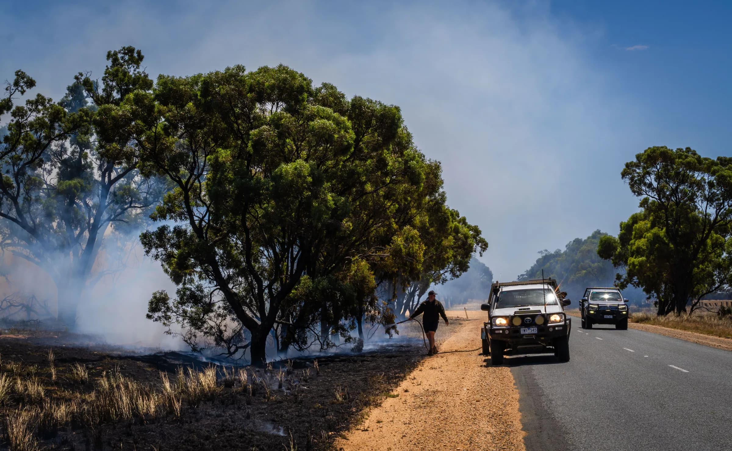
Storm crews, search and rescue teams, utility crews and council emergency management staff are usually sent out with an address and a radio. Vantage puts the incident, the ground around it, the hazards and every other crew on one live map, in the operations room and in the vehicle.
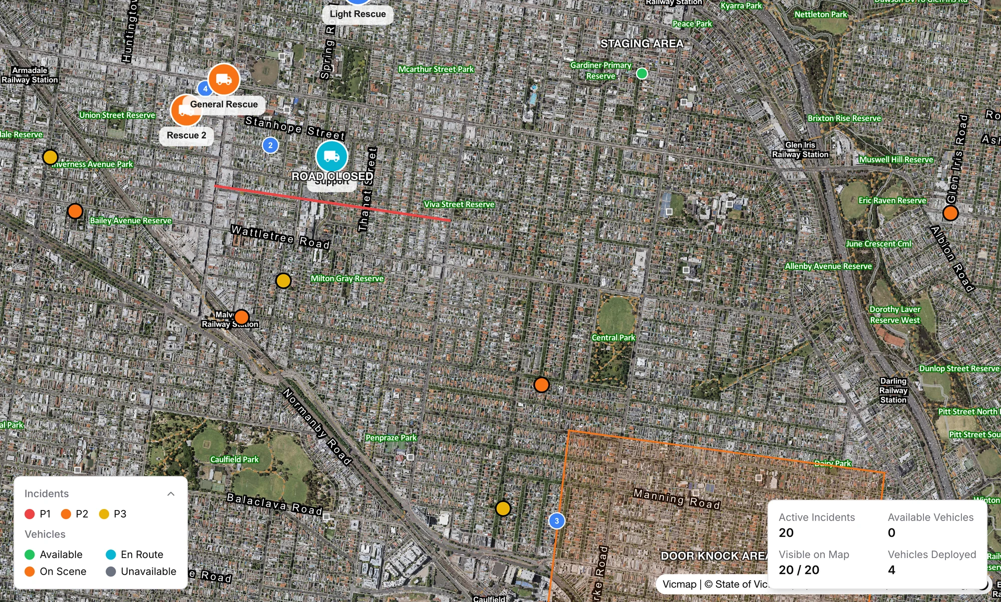
Bring the wider response into view
Visiting crews
A crew from another unit appears with an amber ring and its organisation's name while it shares its location.
Sectors, boundaries and transport routes
Sectors show on the operations map and on the map in the truck. Unit boundaries and public transport routes are a switch each.
Hydrants across most of Australia
Switch the layer on and hydrants appear as you zoom in to street level. Inspecting them has a page of its own.
Keep assigned vehicles visible
Assigned vehicles stay visible even when their position is older, so a gap in coverage does not remove them from your view of the response.
Location sharing your members can trust
A member's phone shares its position only when they choose to respond or join a search, and it stops by itself.
Off unless they opt in
A phone signed in as a personal device reports no position. It shares one only while its owner is attending an incident or has joined a search.
Privacy zones around home
Each member can drop a pin and set a radius. Trail points inside it are never recorded or shown, and setting a zone removes any earlier points inside it.
Private to the member
Only the member can see or change their zones. No administrator can, and zone locations are stored encrypted.
Sharing ends by itself
Location shared on the way to the station stops on arrival, after 30 minutes, or when the member is no longer attending.
Questions
Do we need GPS hardware in the vehicles?
No. The position comes from the phone or tablet signed in to that vehicle in the Vantage MDT app.
Is it live GPS?
Yes. Vehicle locations are live, with their age counted in seconds, not minutes. A position can be older when the device has poor coverage.
What happens out of coverage?
The vehicle stays where it last reported until the device is back in range. A search trail keeps recording on the device and uploads afterwards.
Can a member's own phone be tracked?
No. A member's location is never shown to anyone unless that member has started sharing it themselves, by answering that they are attending an incident or by joining a search. Nobody else can switch it on for them, and it stops by itself. Inside a privacy zone, such as around home, tracking is impossible: points there are never recorded or shown, even during a search the member has joined, and only the member can see where their zones are.